
71 - 80 of 115 Selling leads
|
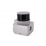
gAirHawk GS-130H UAV LIDAR SCANNING SYSTEM UAV LiDAR Scanning System with Livox Horizon Laser Sensor gAirHawk GS-130H New Designed is a kind of short ...
2025-08-05 00:11:14
|
|
GS-260X LiDAR Scanning System HESAI XTM2X Sensor High Accuracy Terrain Mapping UAV Surveying Geosun gAirHawk Series GS-260X LiDAR Scanning System ...
2025-08-05 00:11:14
|
|
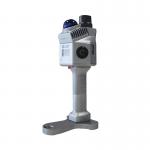
gAirHawk GS-260F UAV LIDAR SCANNING SYSTEM LiDAR Scanning System with HESAI Pandar Laser Sensor Mounted on DJI M600 Pro gAirHawk GS-260F is a kind of ...
2025-08-05 00:11:14
|
|
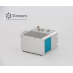
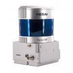
Drone Surveying HESAI Pandar40p Laser Scanner Geosun GS-260F UAV LiDAR Scanning System LiDAR Scanning System with HESAI Pandar Laser Sensor Mounted on ...
2025-08-05 00:11:14
|
|
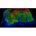
Forestry 3D Mapping HESAI XT32 Senor UAV LiDAR GS-260X Colored Point Cloud Free Pre-Processing software High Accuracy UAV LiDAR Scanning System GS...
2025-08-05 00:11:14
|
|
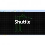
Shuttle – High-Precision GNSS/INS Trajectory Processing Software for Aerial Photogrammetry Trajectory Processing Solution Comparable to Inertial ...
2025-08-05 00:11:14
|
|
Geosun gFireEye Series GS-200G SLAM LiDAR The GS-200G is a lightweight, high-performance handheld LiDAR system by Geosun Navigation. Featuring the ...
2025-07-25 11:56:20
|
|
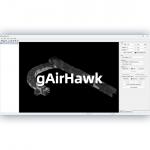
PointCloudCreater-gAirHawk 5.0 Software Introduction All-in-One Point Cloud Pre-Processing Software with Built-in Trajectory Calculation High...
2025-07-25 11:56:11
|
|
PointCloudCreater 1.0 Software 3D LiDAR Data Acquisition and Processing Software with Color PT File Output PointCloudCreater is a LiDAR acquisition, ...
2025-07-25 11:56:10
|
|
PointCloudCreater 2.0 Software Introduction Integrated LiDAR Data Pre-Processing Software with Built-in Trajectory and Point Cloud Calculation ...
2025-07-25 11:56:05
|