
81 - 90 of 115 Selling leads
|
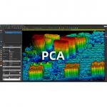
Point Cloud Automata World-leading point cloud classification and post processing software What can the PCA post-processing software do? Focus on ...
2025-07-25 11:56:03
|
|
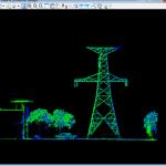
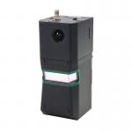
GS-260F RTK Model Drone LiDAR Scanner HESAI Pandar40P Multi Platform Free Trajectory Processing Geosun gAirHawk Series Drone LiDAR Scanning System GS...
2025-07-25 11:55:45
|
|
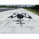
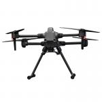
Multi Rotor LiDAR Drone Safety Aircraft Aerial Survey Operation Support GS-800 multi-rotor UAV aerial photographing and mapping system is made of high...
2025-07-25 11:55:21
|
|
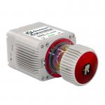
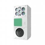
Geosun GAirHawk Series GS-2000R LiDAR Scanning System High Accuracy Colored Point Cloud Long Detection Airborne Mapping Geosun gAirHawk Series GS...
2025-07-25 11:55:05
|
|
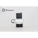
Long Range Laser Scanning System Supported Seven Echo Colored Point Cloud Free Trajectory Processing The GS-960 is a cutting-edge high-precision UAV ...
2025-07-25 11:55:03
|
|
Multi-Rotor Drone Application for Mapping & Survey The GS-L400 is designed specifically for inspection, surveying, security, and wilderness rescue ...
2025-07-25 11:54:47
|

|
*, *::before, *::after {box-sizing: border-box; } * {margin: 0; } html, body {height: 100%; } body {line-height: 1.5; -webkit-font-smoothing: ...
2025-07-25 11:54:47
|
|
UAV LiDAR Scanning System with Integrated Multispectral Camera Geosun GS-100E LiDAR Scanning System Application for 3D Surveying and Mapping GS-100E ...
2025-07-25 11:54:19
|
|
gAirHawk GS-130D+Multispectral Camera LIDAR SCANNING SYSTEM LiDAR Scanning System with HESAI XT Laser Sensor Mounted on GS-800 Multi Rotor Drone ...
2025-07-25 11:54:18
|
|
Compact Multispectral Camera LiDAR Scanning System For Forestry gAirHawk GS-130D is a kind of short-range, compact LiDAR point cloud data acquisition ...
2025-07-25 11:54:18
|