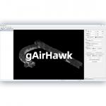
gAirHawk 5.0 Software-One Key Point Cloud Processing Software
|
|
PointCloudCreater-gAirHawk 5.0 Software Introduction All-in-One Point Cloud Pre-Processing Software with Built-in
Trajectory Calculation
gAirHawk 5.0 is a powerful LiDAR data acquisition and pre-processing software independently developed by Geosun Navigation. Designed for use with Geosun’s LiDAR scanning systems, it integrates trajectory calculation and point cloud processing into a streamlined workflow, improving both efficiency and accuracy in 3D mapping projects. This software supports:
Key Features of gAirHawk 5.0
Free Software for Testing-Document Overview:Trial Software Information
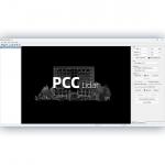
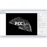
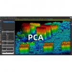
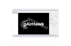
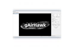
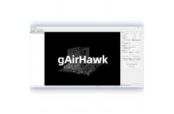
Achievable High Precision The Interface of gAirhawk Flight area selection Coordinate system Calculate point cloud Adding raw data Point Cloud Rendering |
| Product Tags: gAirHawk 5.0 One Key Point Cloud Processing Software Geosun Point Cloud Processing Software Trajectory gAirHawk 5.0 LiDAR Data Processing Software |