
1 - 10 of 14
geosun point cloud processing software trajectory
Selling leads
|
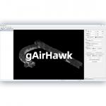
... gAirHawk 5.0 is a powerful LiDAR data acquisition and pre-processing software independently developed by Geosun Navigation. Designed for use with ...
2025-07-25 11:56:11
|
|
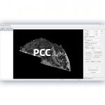
...Software Introduction Integrated LiDAR Data Pre-Processing Software with Built-in Trajectory and Point Cloud Calculation PointCloudCreater 2.0 is ...
2025-07-25 11:56:05
|

|
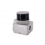
...Point Cloud Free Software Geosun gAirHawk LiDAR Scanning System GS-100V gAirHawk GS-100V is a kind of short-range, compact LiDAR point cloud data ...
2025-07-28 00:13:17
|
|
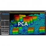
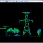
...Application. The PCA is a LiDAR point cloud processing and analyzing soware. The PCA inially designed for Geosun point cloud data, but also is ...
2025-07-25 11:56:03
|
|
... software independently developed by Geosun Navigation. It is designed to support the full workflow of LiDAR scanning, from field data collection ...
2025-07-25 11:56:10
|
|
... GNSS/INS post-processing software independently developed by Wuhan Geosun Navigation Technology Co., Ltd. It integrates multi-constellation GNSS ...
2025-07-28 00:13:17
|
|
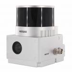
Forestry 3D Mapping HESAI XT32 Senor UAV LiDAR GS-260X Colored Point Cloud Free Pre-Processing software High Accuracy UAV LiDAR Scanning System GS...
2025-07-28 00:13:17
|
|
...Geosun GS-130X 3D Scanning Built-In RGB Camera Total Aerial Solution DJI M300 Cost Effective Application of UAV LiDAR Scanning System Drone with ...
2025-07-28 00:13:17
|
|
...Trajectory Processing Geosun gAirHawk Series Drone LiDAR Scanning System GS-260F GS-260F drone LiDAR scanning system is an UAV measurement system ...
2025-07-25 11:55:45
|
|
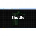
Shuttle Software – High-Precision GNSS/INS Post-Processing System Independently Developed by Geosun Navigation Shuttle is a high-performance GNSS/INS ...
2025-07-28 00:13:17
|