
Shuttle Software –Positioning Altitude Aerial Photogrammetry Trajectory Process Software
|
|
Shuttle – High-Precision GNSS/INS Trajectory Processing Software for Aerial Photogrammetry Trajectory Processing Solution Comparable to Inertial Explorer and POSPac
Shuttle is a high-precision GNSS/INS post-processing software independently developed by Wuhan Geosun Navigation Technology Co., Ltd. It integrates multi-constellation GNSS (GPS, GLONASS, BeiDou II, Galileo) and inertial navigation data to deliver centimeter-level positioning, millimeter-per-second velocity, and milliradian attitude accuracy for dynamic platforms. At the core of Shuttle is the proprietary GGPoS engine, a high-precision positioning and velocity processor capable of handling both single- and dual-frequency GNSS data. It supports standalone GNSS processing as well as GNSS/INS integrated solutions. Core Advantages
Application Scenarios Shuttle is widely used in high-precision motion and mapping applications, including:
Its modular architecture allows for strong scalability, custom feature integration, and support for flexible deployment in various engineering environments.
Free Software for Testing-Document Overview:Trial Software Information Click here to watch the video:Positioning Altitude Aerial Photogrammetry Trajectory Process Software
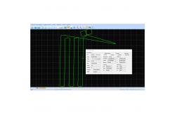
Trajectory Process
Select the Satellites and GNSS Date Decode (the .kqs file to .20o file)
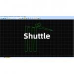
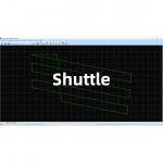
The GNSS results from Shuttle (kinematic Differencial GNSS)
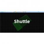
The GNSS/INS Integration results from Shuttle
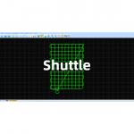
Camera Trigger Event
INS Result |
| Product Tags: Positioning Altitude Trajectory Process Software Geosun Shuttle Software aerial photogrammetry Trajectory Process Software |
|
Shuttle Software –Positioning Altitude Aerial Photogrammetry Trajectory Process Software |
|
Shuttle Software – High-Precision GNSS/INS Post-Processing System |
|
GGPoS Software – High-Precision GNSS Positioning and Velocity Solution |
|
GGPoS Software-High Accuracy GNSS Positioning And Velocity Determination System |