
1 - 8 of 8
aerial photogrammetry trajectory process software
Selling leads
|
... GNSS/INS post-processing software independently developed by Wuhan Geosun Navigation Technology Co., Ltd. It integrates multi-constellation GNSS ...
2025-07-29 00:11:05
|
|
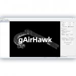
... gAirHawk 5.0 is a powerful LiDAR data acquisition and pre-processing software independently developed by Geosun Navigation. Designed for use with ...
2025-07-25 11:56:11
|
|
...Aerial Solution DJI M300 Cost Effective Application of UAV LiDAR Scanning System Drone with LiDAR ( DJI M300 and GS-130X) Free trial software of ...
2025-07-29 00:11:05
|
|
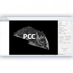
...Software Introduction Integrated LiDAR Data Pre-Processing Software with Built-in Trajectory and Point Cloud Calculation PointCloudCreater 2.0 is ...
2025-07-25 11:56:05
|
|
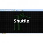
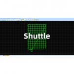
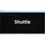
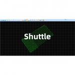
Shuttle Software – High-Precision GNSS/INS Post-Processing System Independently Developed by Geosun Navigation Shuttle is a high-performance GNSS/INS ...
2025-07-29 00:11:05
|
|
GGPoS Software – High-Precision GNSS Positioning and Velocity Solution GGPoS is a high-precision GNSS data processing software system designed for GPS...
2025-07-25 11:53:58
|
|
GGPoS – Precision GNSS Data Processing for Positioning & Velocity GGPoS is a high-performance GNSS post-processing software developed by Geosun ...
2025-07-25 11:53:57
|
|
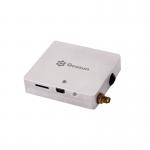
Photography Surveying PPK Solution Aerial GNSS Receiver Features of PPK Solution Lightweight and flexible aviation GNSS positioning receiver GGPos ...
2025-07-25 11:53:51
|