
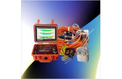
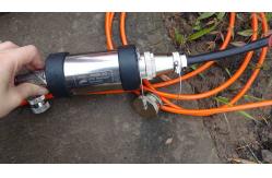
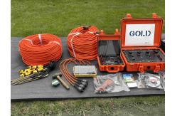
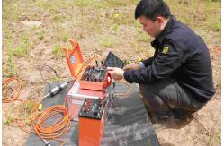
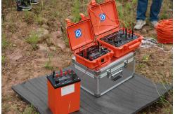
Subsurface Imaging Scanner Geophysical ERT Measurement Instrument Deep Earth Resistivity Mapper
|
|
Next-Generation Geophysical Imaging with Smart Features Embrace the future of subsurface characterization with this AI-enhanced geophysical platform that brings revolutionary capabilities to field surveys. Machine learning algorithms automatically optimize measurement parameters based on real-time data quality assessment, while predictive modeling functions suggest optimal survey designs for specific geological environments. The system's integrated sensor fusion combines electrical measurements with positional, magnetic, and environmental data to create comprehensive multi-parameter subsurface models. Cloud connectivity enables remote expert consultation and computational resource access from any field location. Regular firmware updates deliver continuous improvements and new features throughout the equipment's lifespan. Innovation Highlights:
|
||||||||||||||
| Product Tags: ERT subsurface imaging scanner deep earth resistivity mapper geophysical exploration instrument with warranty |

|
Drillhole Structural Mapping Tool Subsurface Drillhole Imager |

|
Earthquake Fault Magnetotellurometer Infrastructure Site Magnetotellurometer |

|
Grout Seal Integrity Viewer Packer Setting Confirmation Cam |

|
Grout Seal Integrity Viewer Packer Setting Confirmation Cam |
|
Seismic Source Technology Advanced Seismic Source |

|
Contaminant Plume Imaging Tool Bridge Foundation Survey Meter |