
1 - 10 of 42
terrestrial lidar scanner 3d scanning
Selling leads
|
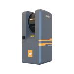
Terrestrial 3D Laser Scanner EPiC LiDAR EasyScan T05 Product Introduction Lightweight & Exquisite | Easy scanning The overall design of the system is ...
2025-07-29 13:58:34
|

|
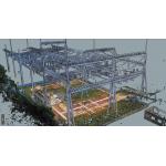
Terrestrial 3D Laser Scanner EPiC LiDAR EasyScan T05 For Final Acceptance Inspection of Residential Construction Product Introduction Lightweight & ...
2025-07-29 13:58:34
|

|
Terrestrial 3D Laser Scanner EPiC LiDAR EasyScan T05 For Final Acceptance Inspection of Residential Construction Product Introduction Lightweight & ...
2025-07-29 13:58:28
|
|
High-Resolution 3D Mapping Made Easy EasyScan M10/M10+ With 360°rotate scanning mode and unique 3D SLAM algorithm technology, it can acquire high...
2025-07-29 13:58:11
|

|
... and effective acquisition of high-precision true color point clouds under different application scenarios, and lead a new development direction of ...
2025-07-29 13:58:10
|
|
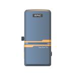
Terrestrial 3D Laser Scanner EPiC LiDAR EasyScan T05 Product Introduction The Easyscan T05, developed by EPiC Lidar, is an advanced terrestrial laser ...
2025-07-29 13:58:33
|

|
Terrestrial 3D Laser Scanner EPiC LiDAR EasyScan T05 Product Introduction The Easyscan T05 model is a advanced terrestrial laser scanner developed by ...
2025-07-29 13:58:35
|

|
...Scan T1000 T1000 is a fully self-developed high-precision and long range of terrestrial laser scanner. The system is designed to be most compact ...
2025-07-29 13:58:35
|

|
M10/ M10+ With 360°rotate scanning mode and unique 3D SLAM algorithm technology, it can acquire high-precision and high-density 3D color point clouds ...
2025-07-29 13:58:13
|

|
EasyScan M10/M10+ 360° Scanning With 3D SLAM Precision With 360°rotate scanning mode and unique 3D SLAM algorithm technology, it can acquire high...
2025-07-29 13:58:14
|