
41 - 50 of 92
engineering seismic instruments
Selling leads
|
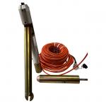
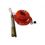
...waves in rock formations. It is designed to be lowered into a borehole or well and can detect seismic waves in three dimensions, allowing for more ...
2024-12-09 22:21:14
|
|
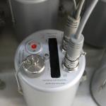
Digital Broadband Seismograph Digital Broadband Seismograph is mainly composed of seismic pickup system, data acquisition system, recording system, ...
2024-12-09 22:21:14
|

|
Conquer the Impossible: The GD-3C’s Expedition-Ready Mastery Picture this: You’re dangling from a helicopter, deploying seismic nodes onto a glacier ...
2025-07-25 00:22:03
|

|
12V Seismic Equipment Field Geophysics Tools Seismic Survey Hammer Technical Overview: GD-600 Seismic Source for High-Precision Surveys The GD-600 ...
2025-05-29 16:32:33
|
|
..., as well as for scientific research and exploration. Geophones are commonly used in seismology, oil and gas exploration, and civil engineering to ...
2025-07-25 00:22:03
|

|
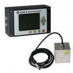
... detection and monitoring, oil and gas exploration, civil engineering, and structural health monitoring. Some of the features of seismic sensors ...
2025-07-25 00:22:03
|
|
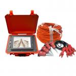
A Blasting Ground Vibrations Instrument is a specialized device used to measure and monitor ground vibrations produced by blasting activities. This ...
2024-12-09 23:14:37
|
|
... seismic waves or vibrations in the ground and convert them into electrical signals that can be analyzed to study the structure and properties of ...
2024-12-09 22:21:14
|
|
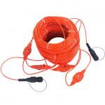
Seismic Geophone Sensor For Land Seismic Survey Introduction Seismic geophone sensor consists of a magnet and a coil suspended on a spring. When the ...
2024-12-09 22:21:14
|
|
... of the subsurface. The data collected from seismic surveys is used to create images of the subsurface, which can help geologists and engineers ...
2024-12-09 22:21:14
|