
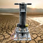
Hydraulic Conductivity Meter Porosity Mapping Equipment
|

|
Hydraulic Conductivity Meter Porosity Mapping Equipment Eco-Sensitive Subsurface Assessment and Cultural Heritage
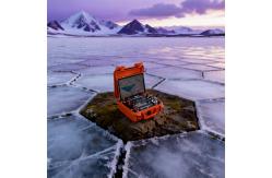
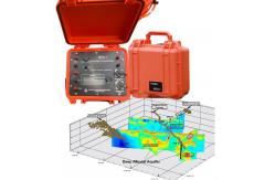
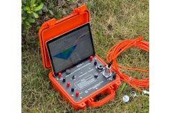
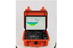
Preservation System Infrastructure development, mining, and renewable energy projects increasingly face regulatory and public expectations to avoid, minimize, or mitigate impacts on sensitive environments and cultural heritage. The challenge is that traditional subsurface investigation often requires invasive techniques (trenching, drilling, test pitting) that themselves cause the very disturbance the project seeks to avoid. Our Eco-Sensitive Subsurface Assessment and Cultural Heritage Preservation System provides a non-invasive, high-resolution alternative, using advanced geophysics to characterize the subsurface with minimal environmental footprint. This platform enables project proponents to identify sensitive features (archaeological sites, paleontological resources, critical habitats, wetlands) early in the planning process, allowing route selection or design modifications that avoid impacts entirely. Integrated Technology Platform The system integrates three complementary non-invasive technologies selected for their minimal ground disturbance: capacitively coupled resistivity (no ground contact required), ground-penetrating radar, and magnetic gradiometry. Deployed from portable, hand-towed carts or small unmanned ground vehicles, these sensors acquire data while leaving no trace.
Technical Specifications
Workflow and Methodology The platform's environmental sensitivity mapping workflow begins with desktop review of existing data (aerial imagery, LiDAR, historic maps, known site records). The field survey is then targeted to areas of highest potential, with adaptive survey design that intensifies coverage where initial results suggest buried features. For large corridors (pipelines, transmission lines, roads), the system can survey tens of kilometers per day, identifying avoidance areas early enough to reroute before detailed engineering. All results are delivered in spatially referenced formats that plug directly into GIS-based environmental impact assessments and routing optimization tools. Regulatory Compliance and Quality Assurance Designed for environmental consultants, cultural resource managers, and infrastructure developers, the platform prioritizes regulatory defensibility and peer review. Survey methodologies follow published standards (EAC Guidelines for Geophysical Archaeology, ASTM D6432 for GPR). Raw and processed data are archived in open formats for independent review. The system's uncertainty visualization highlights areas where geophysical response was ambiguous, allowing cultural resource professionals to recommend targeted ground truthing rather than blanket excavation. Key Benefits
Summary The Eco-Sensitive Subsurface Assessment and Cultural Heritage Preservation System enables project proponents to know what lies beneath without disturbing what lies beneath. It replaces the destructive uncertainty of "dig and see" with the non-invasive clarity of advanced geophysics, allowing sensitive resources to be identified, mapped, and avoided early in the planning process. It is the essential tool for responsible development in a world that increasingly demands both progress and preservation. |

|
Drillhole Structural Mapping Tool Subsurface Drillhole Imager |

|
Earthquake Fault Magnetotellurometer Infrastructure Site Magnetotellurometer |

|
Grout Seal Integrity Viewer Packer Setting Confirmation Cam |

|
Grout Seal Integrity Viewer Packer Setting Confirmation Cam |
|
Seismic Source Technology Advanced Seismic Source |

|
Contaminant Plume Imaging Tool Bridge Foundation Survey Meter |