The Networked Subsurface: Creating a Living Digital Twin of the
Earth through Persistent Sensing
The future of resource management lies not in sporadic surveys, but
in continuous understanding. Our technology pioneers a shift from discrete survey campaigns to
the creation of a Spatial Intelligence Grid—a permanent, scalable network of smart sensor nodes that creates a
living, breathing digital twin of the subsurface. Once deployed across a property, mine, or groundwater basin, this
grid provides persistent, real-time 4D data on geophysical properties, enabling monitoring of fluid movement,
geotechnical stability, leaching processes, or depletion with
unprecedented resolution. This transforms exploration and mining
from a series of snapshots into a continuously optimized, data-driven operation.
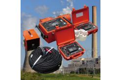
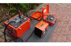
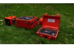
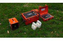
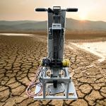
The architecture is built for permanence and intelligence. The Autonomous Node Network consists of robust, self-contained pods with solar power, edge
computing, and multiple sensing modalities (IP, resistivity,
seismic, tilt). They form a self-healing mesh network,
communicating data without central infrastructure. Real-Time 4D Inversion Engines running on edge and cloud compute continuously assimilate new data
from the grid, updating the shared subsurface model. This model
becomes a common operational picture, accessible via secure dashboard, showing not just static
structure but dynamic change: the movement of a groundwater plume, the progression of a leach
front, or subtle stress changes in a pit wall. Finally, the Anomaly Detection & Alerting System uses machine learning to establish a baseline “normal” state for
the grid and then flags significant deviations in real-time,
whether it’s a new conductive anomaly suggestive of mineralization
or a dangerous change in slope stability.
Spatial Intelligence Grid Specifications
The applications are transformative across the resource lifecycle.
In exploration, a semi-permanent grid over a large, remote property allows a
small team to monitor for subtle, time-varying signals (e.g.,
seasonal groundwater changes revealing structures) and react
immediately to findings, creating a persistent exploration
presence. In active mining, the grid monitors leach pad performance, tracks groundwater
around tailings facilities for compliance, and provides early
warning of geotechnical hazards, converting operational costs into proactive risk management. For brownfields and near-mine exploration, the grid can detect the minute changes caused by dewatering or
mining activity that might expose previously hidden ore signatures.
This is the infrastructure for the smart mine and the persistent explorer. It erases the line between discovery and operation, creating a
continuous flow of actionable geoscientific data. The value
proposition shifts from selling a survey to selling a continuous stream of intelligence. It provides not just a model of the earth, but a living, updating relationship with it, enabling a level of control, optimization, and risk mitigation
previously unimaginable. In an industry moving towards automation
and data-centric decision-making, the Spatial Intelligence Grid is
the foundational sensing layer that makes the digital
transformation of resources a reality.