
31 - 40 of 42
professional drones with thermal imaging
Selling leads
|
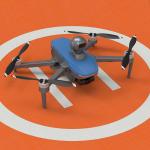
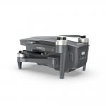
Product Description: Aerial Survey Drone is the perfect tool for aerial data collection, aerial imaging and aerial photogrammetry. With maximum ascend ...
2025-02-14 19:23:06
|
|
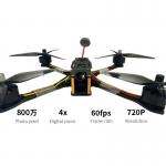
Product Description 10-inch cкaЧaть FPV Kamikaze Drone Industrial Level Manta Ray Drone Israel 8 Peak Performances 1,Extreme Speed Engineering ...
2025-07-30 00:18:41
|
|
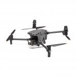
Product Description Imaging Performance: Features ultra-high-definition 4K video shooting resolution and a 3-axis gimbal, ensuring stable and clear ...
2025-07-25 17:27:16
|

|
Product Description: 3D Drones are Unmanned Aerial Vehicles (UAVs) used for Geographic Information System (GIS) and purposes. These high-performance ...
2025-02-17 21:28:00
|

|
Product Description Remote Control Drone is an autonomous controlled drone, a radio-controlled drone, or a remotely piloted vehicle that has a load ...
2025-07-30 00:18:41
|

|
Product Description: Remote Control Drone is an unmanned aerial system powered by a Remotely Piloted Aircraft, providing an efficient and reliable way ...
2025-07-30 00:18:41
|
|
...Professional Rescue Drone with 3axis gimbal 4k Night Vision camera 10km control distance Search Rescue Drone is a kind of searching rescue aircraft...
2025-07-30 00:18:41
|

|
Product Description: Aerial Survey Drone This aerial monitoring drone is the perfect choice for any aerial imaging, data collection, and need. ...
2025-07-30 00:18:41
|
|
Product Description: Remote Sensing Drones are the perfect robotic aerial system that provides autonomous aerial vehicle solutions for a variety of ...
2025-07-30 00:18:41
|

|
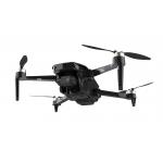
Product Description 1. Rich imaging and other functions, supporting one click takeoff/landing, foldable, equipped with cameras, LED lights, etc., as ...
2025-07-25 17:27:20
|