
11 - 20 of 190
handheld land surveying instruments
Selling leads
|
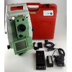
Land Survey Software Leica TCRP1201 total station REF LINE KEY software registration code product name REF LINE KEY brand Leica model TCRP1201
2025-05-10 00:12:10
|
|
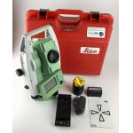
Land Survey Software Leica TS06 total station road 2D software registration code product name 2D software registration code brand Leica model TS06
2025-05-10 00:12:10
|

|
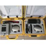
Land Survey Software Leica TS09 total station Reference Arc Key software registration code product name Reference Arc Key Brand Leica Model TS09
2025-05-10 00:12:10
|

|
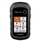
Product Description Chinese brand Handheld Garmin Etrex10 Handheld GPS Etrex 221x GPS for surveying instrument Garmin eTrex 10 handheld GPS Worldwide ...
2024-12-09 21:23:32
|

|
Product Description Surveying instrument Garmin Etrex 221x Handheld GPS GNSS receiver with Waterproof funcation The handheld dual-satellite measuremen...
2024-12-09 21:23:32
|
|
Product Description South Land Surveying Measuring Instrument RTK 0° ~ 60° IMU tilt angle GPS South Galaxy G3 Technical parameter GNSS Features ...
2025-07-26 00:08:33
|
|
... and land surveying purpose. It comes with battery and its charger and silicon clothing for cover. It is fixed with an electronic distance meter ...
2024-12-09 18:47:22
|

|
Detail Specification : Best Price for Garmin Etrex 10 GPS Handheld with Manual in Chinese and English Garmin eTrex 10 handheld GPS Worldwide basemap 2...
2024-12-09 18:47:22
|
|
Detail Specification : Perfect Combination Of Garmin Etrex 209X Handheld GPS with Beidou Perfect Combination of eTrex and Beidou Garmin new generation ...
2024-12-09 18:47:22
|

|
... is more than a universal 1408-channel multi-band IMU-RTK GNSS receiver, it is the perfect GNSS RTK survey tool that any surveying, construction or ...
2024-12-09 20:57:59
|