
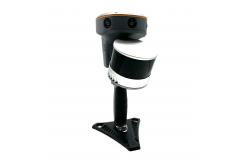
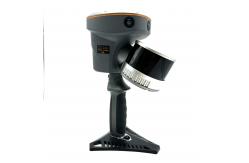
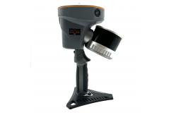
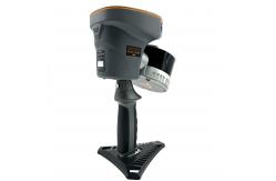
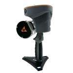
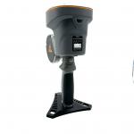
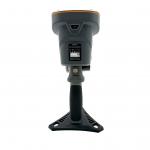
Real Time Slam Capabilities Chc RS10 3D Laser Scanner
|
Detailed Product Description
CHC 3D laser scanning high-precision GNSS and SLAM technologiesRS10
RTK AND SLAM FUSION FOR BETTER MAPPING ACCURACY The RS10 is the result of CHCNAV's expertise in GNSS technology
development. Featuring a 4th generation air dielectric GNSS
antenna, it provides RTK positioning accuracy of better than 3 cm
in a variety of challenging environments. Combined with the
system's high-precision LiDAR and three HD cameras, it fuses RTK,
laser, and visual SLAM to deliver 5 cm absolute measurement
accuracy. From detailed architectural surveys to complex
infrastructure projects, the RS10 gives professionals the tools
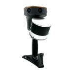
they need to collect rich and accurate data efficiently. REAL-TIME SLAM CAPABILITIES Equipped with a powerful on-board processor, the RS10 provides
real-time SLAM (Simultaneous Localization and Mapping) capabilities
to create georeferenced point clouds directly in the field without
the need for post-processing. With immediate feedback on the
collected data, users can make adjustments on the fly to ensure
complete and detailed scan coverage. The RS10 can map large areas
up to 13,000 square meters in real-time, making it ideal for rapid
or complex surveying projects where time and accuracy are critical. |
| Product Tags: Real Time Slam 3D Laser Scanner Chc RS10 3D Laser Scanner 3D Laser Scanner |
Related Products
Email to this supplier