
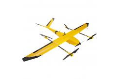
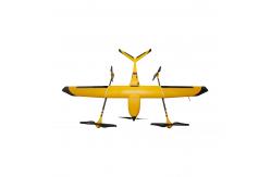
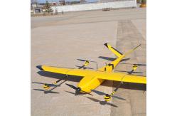
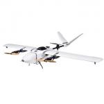
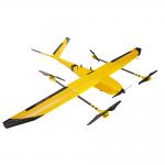
UAV Mapping Drone Long range aerial survey fixed wing uav mapping drone
|
Detailed Product Description
UAV Mapping Drone Long range aerial survey fixed wing uav mapping drone
Long range aerial survey fixed wing uav mapping drone
|
||||||||||||
| Product Tags: uav aerial mapping crop spraying drone |
Related Products
|
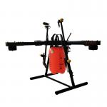
UAV Mapping Drone Foldable Six Rotor Oil Electricity Hybrid Mapping UAV drone XQL12 Series |
|
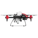
UAV Mapping Drone Unmanned aerial vehicle uav mapping spraying drone |
|
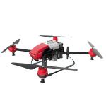
UAV Mapping Drone Customization high quality cheap price practical uav mapping drone rtk |
|
UAV Mapping Drone Nimbus V2 VTOL Long Range Fixed Wing UAV for Mapping |
|
UAV Mapping Drone Trending hot products high performance low price uav mapping drone rtk |
|
UAV Mapping Drone Long range aerial survey fixed wing uav mapping drone |
Email to this supplier