
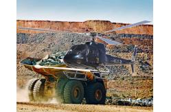
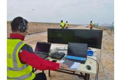
High-Altitude Cesium Magnetometer Drone for Pipeline Surveys
|
|
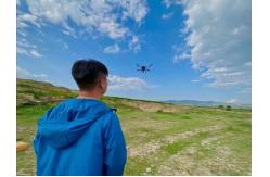
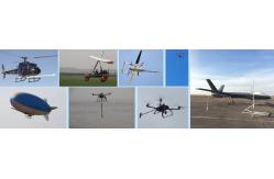
Instant-Action Aeromagnetic Systems for Time-Critical Missions Operational Agility Redefined Critical Time-Sensitive Applications
Speed-Optimized Workflow
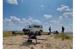
Platform Performance Matrix
|
||||||||||||||||||||||||||||||||||||
| Product Tags: cesium magnetometer drone high-altitude pipeline survey drone geophysical exploration magnetometer |

|
Long Battery Life Seismic Refdraction Equipment Transient Multifold Rayleigh Wave Prospectingbuilding Base |

|
Geophysical Sensor Array Seismic Vibrator Truck Core Sample Scanner |

|
Volcanic Observation Magnetometer Environmental Magnetic Sensor Fault Locating Magnetometer |
|
0.02μa Sampling Resolution Dual Electrode Spacing System High Power Transmitter For Mineral Resource Exploration |
|
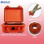
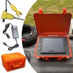
Resistivity IP Meter Geophysical Exploration Instrument with Digital Accuracy ±1% 900V Processing Power and ±6A Maximum Supply Current |
|
Engineering Seismograph with 50m to 100m Depth 38hz Frequency and 50/40mm Diameter for Geophysical Exploration |